Požádat u ukázku výstupních dat
a nebo nás rovnou kontaktujte.

Photogrammetry of the Devil’s Stairs

We measured the bottom of the limestone landfill of the big quarry and calculated the cubic volumes of the removal after the drone pass.
For more information, scroll

Detailed description

The Devil’s Stairs limestone required a 3D model of the initial state and the amount of limestone extracted in the quarry. The subsequent task was to calculate the landfill cubic capacity.


Surveying and Processing

Firstly, the landfill was surveyed using conventional geodetic methods. Next, a drone pass over the area of interest was carried out for subsequent photogrammetric processing, resulting in a georeferenced point cloud and digital terrain model.


Comparing the 3D models of the initial and current state, the difference was identified and the cubic volumes were calculated.

Objectives and Benefits

  • True 3D reality model suitable for measuring and accurate calculation of cubic volumes
  • Fast and accurate monitoring of development in selectable time series
  • Graphic visualisation of the development significantly increasing the predictive value of the outputs
  • Visual documentation of the site and the surrounding area in the form of an aerial image

Technologies used

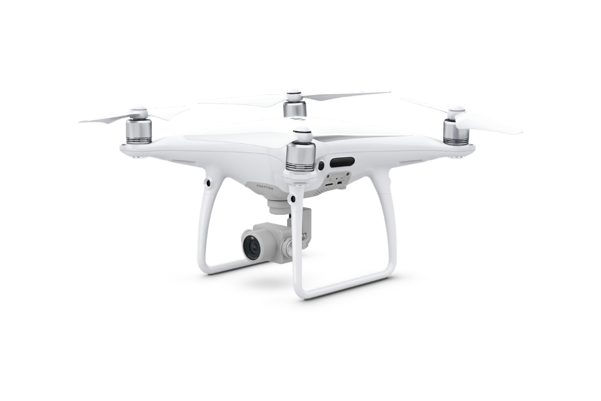
DJI Phantom 4 Pro

We use this drone mainly for more precise and less extensive work, or for vertical mapping. It is equipped with a high quality 20 megapixel camera with the ability to record 4K videos.
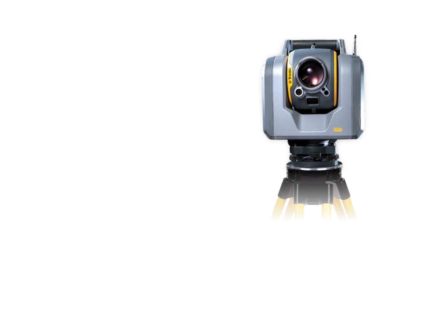
Trimble SX10

The scanning total station is an innovative solution in the field of mapping, engineering, and surveying worldwide, setting new standards for surveying instruments.
Request a sample of output data

Reference

Greenery Passport on Motorways

Detailed greenery passport in the scope of the property boundary of the ŘSD ČR on selected motorways
More information

Contact Us

Not sure which service is ideal for you? Ask our experts.

Ing. Miroslava Kubíčková

Expert consultant in the field of mapping, LiDAR, photogrammetry, UAV/UAS, 3D models, and BIM
Follow us