Services offered

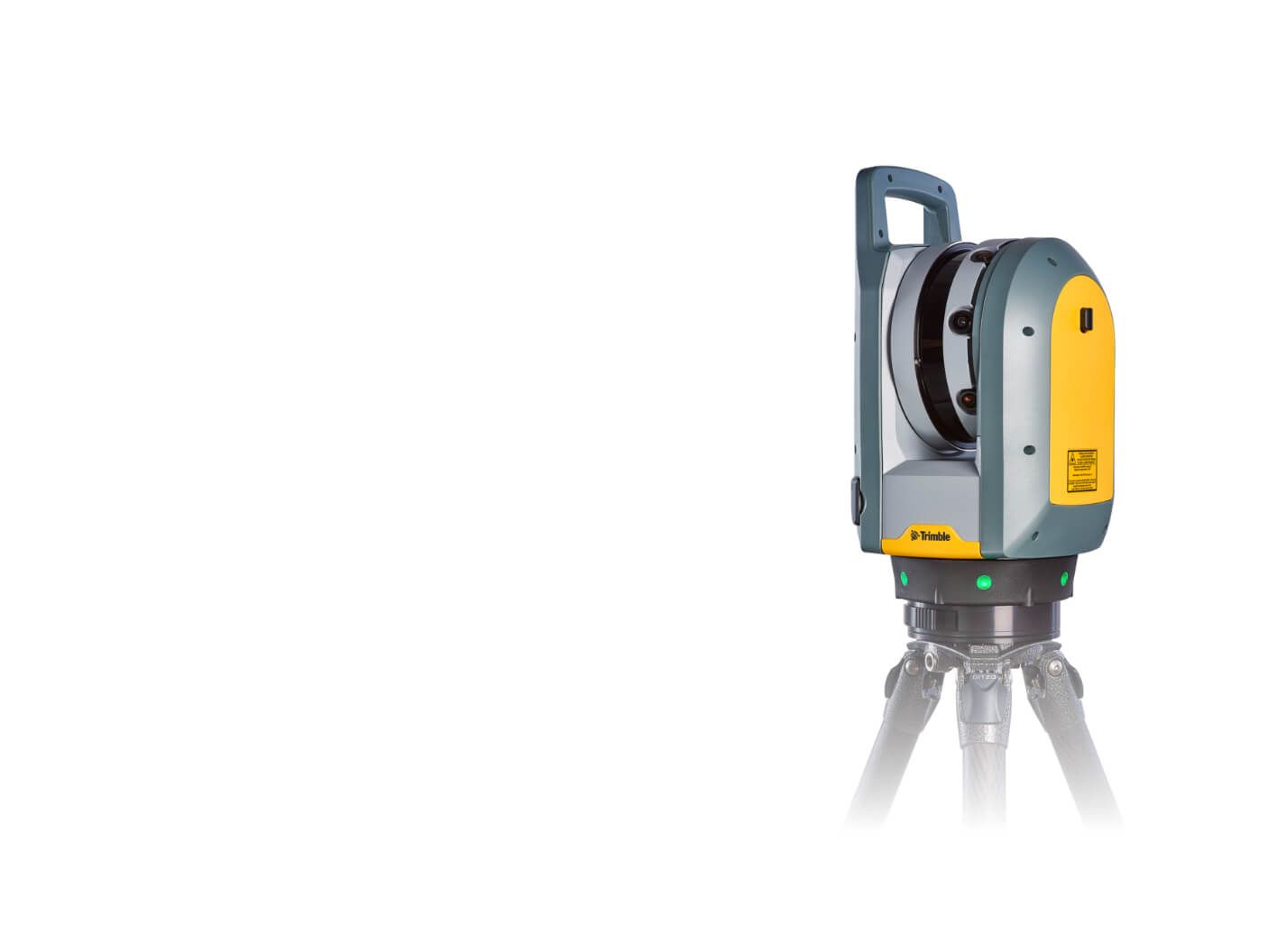
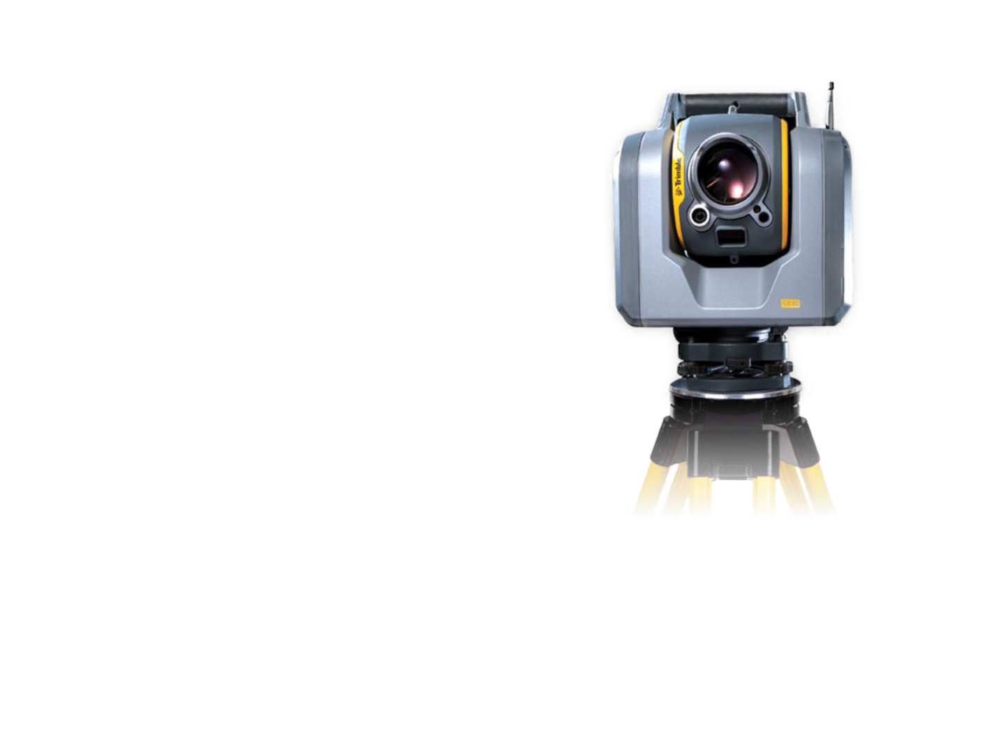
Laser Scanning
Fast, accurate, and comprehensive object surveying resulting in a 3D point cloud image of reality.
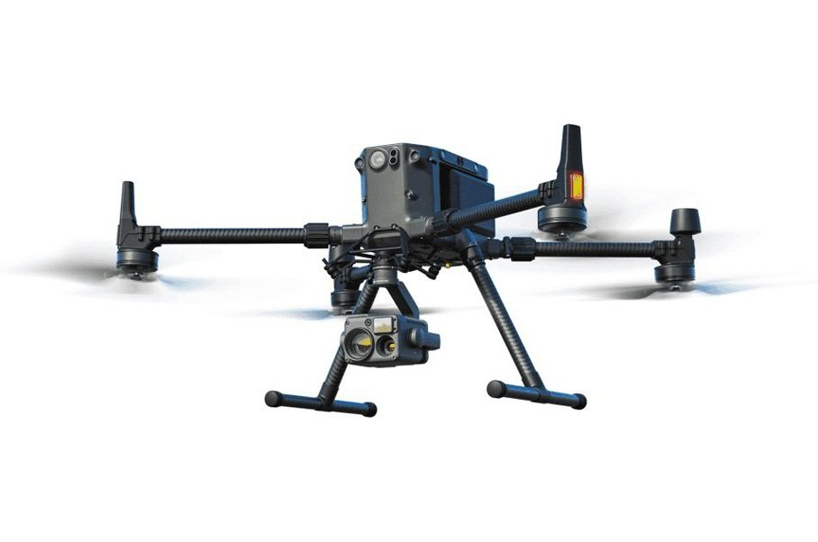
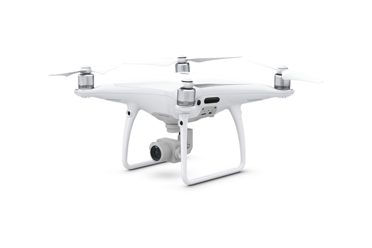
More informationPhotogrammetry
Quick and contactless data collection by digital cameras using unmanned aerial vehicles.
More informationBuilding passport
Required documentation of a building containing important and topical information including technical description and drawings.
More information3D Models
Creation of 3D models using modern technologies with possible outputs for design and BIM.
More informationBIM
A modern process of creating a 3D building model complete with graphical and descriptive information about all elements.
More informationOrthophotomap
We provide aerial images and orthophotomaps from history to the present.
More informationMawisPhoto
Quick data collection for 3D building documentation models using a mobile phone.
More informationDetermination of the Cubic Volume
The service works on the principle of calculating the volume of terrain change based on surveying the terrain before and after the landscaping.
More information