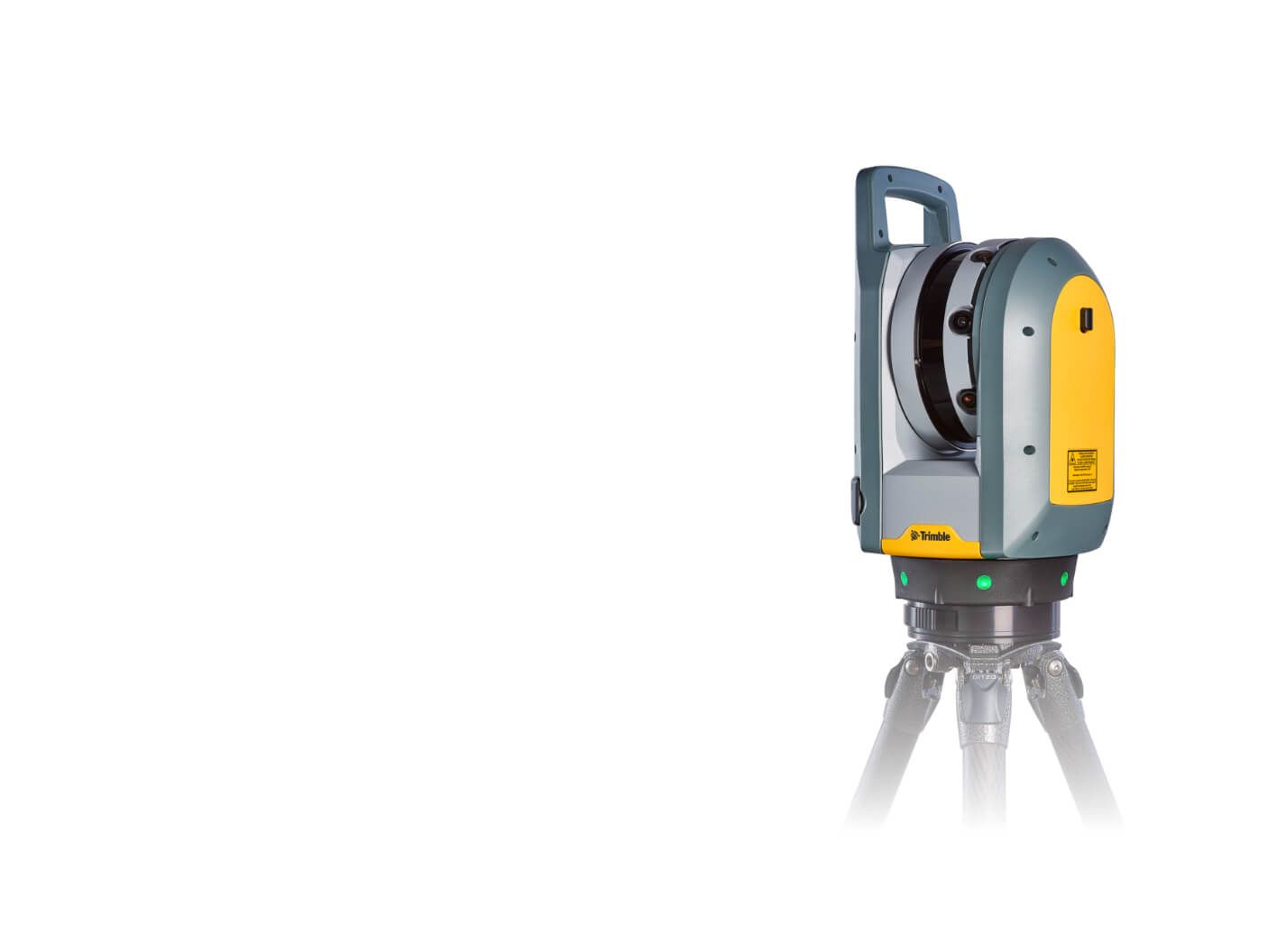
Požádat u ukázku výstupních dat
a nebo nás rovnou kontaktujte.

Water Treatment Plant – Vír dam

We have created a BIM model of the area around the Vir dam.
12 500 m2
For more information, scroll

Detailed description

The project assignment was to map the existing site, including buildings (technological units) in the vicinity of the Vír dam. Part of the assignment was the requirement to create BIM models of the individual objects at the LOD 100 level in exterior and LOD 300 in interior, including technological piping.


Creation of 3D Model

‍The Trimble SX10 laser scanner was used to acquire data for the exterior of the buildings, while the Trimble X7 scanner was used to scan the interior. A drone pass added rooftops and rooftop elements to the resulting cloud. The resulting point cloud served as the basis for the 3D model, which was created in Autodesk Revit software.

Objectives and Benefits

The aim is to obtain data in detail according to the investor’s requirements and then create a BIM in high accuracy.

Graphic Benefits

  • Presentation visualisation of the object as a whole
  • Suitable basis for design and modelling
  • Realisation of sections at any location and level of detail

Non-Graphic Benefits

  • Modelled objects reported automatically (number, dimensions, etc.)
  • Simple and quick spreadsheets, statistics

Technologies used

Trimble X7

The high-speed scanning station is the latest innovative solution in mapping, engineering, and surveying that provides data visualisation directly in the field. Fully integrated 3D scanning functions form its basis. It allows for data to be exported to standard point cloud formats.
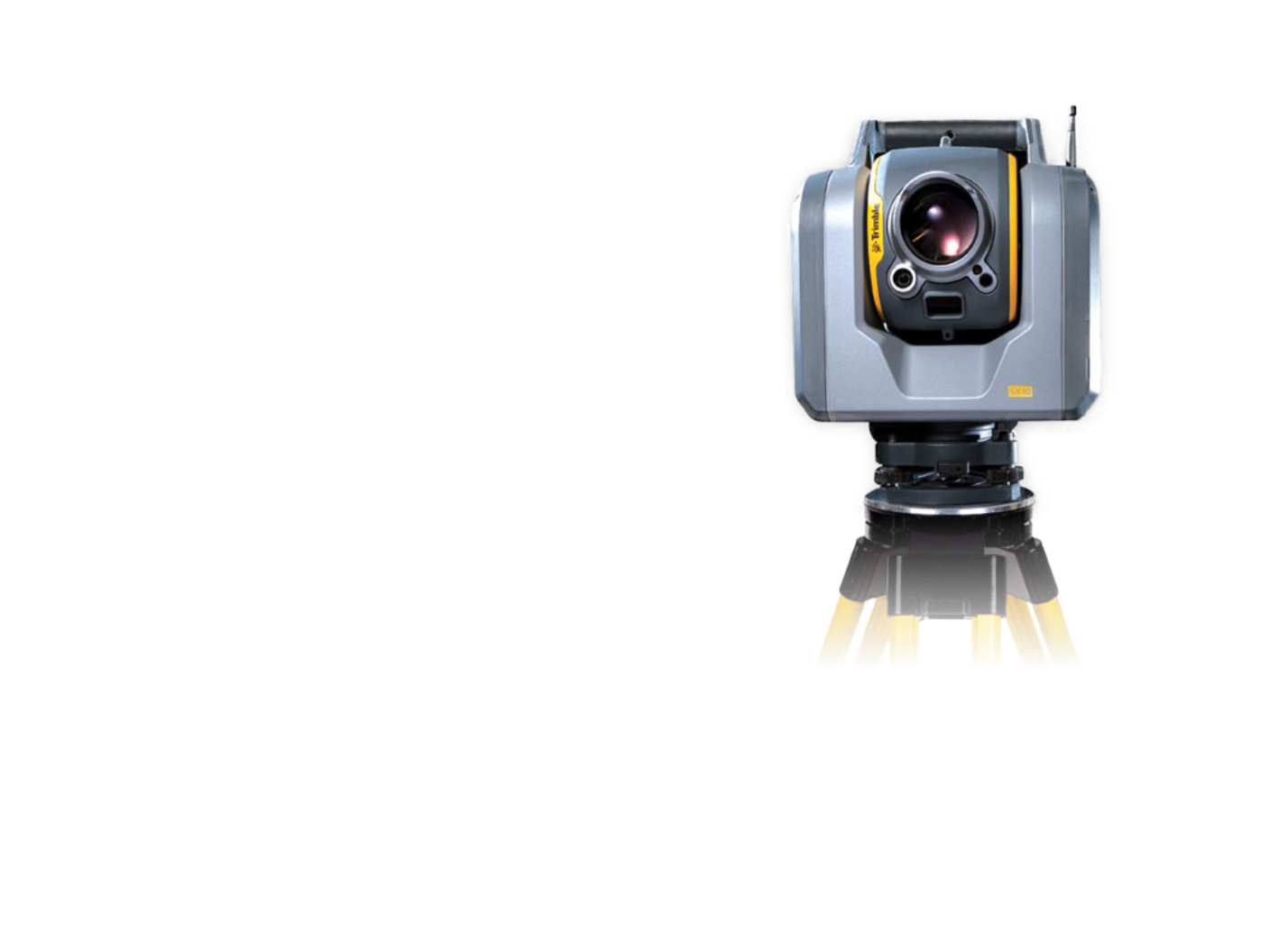
Trimble SX10

The scanning total station is an innovative solution in the field of mapping, engineering, and surveying worldwide, setting new standards for surveying instruments.
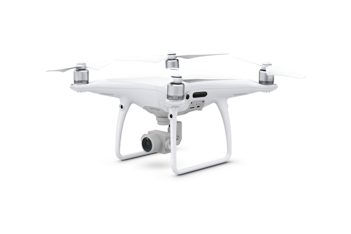
DJI Phantom 4 Pro

We use this drone mainly for more precise and less extensive work, or for vertical mapping. It is equipped with a high quality 20 megapixel camera with the ability to record 4K videos.
Request a sample of output data

Reference

Residential building in the center of Prague

We mapped a residential building with a floor area of about 2500 m2.
More information
2 500 m2

Pasportization of Čiper's Villa

We have prepared a passportisation of the Čiper Villa in the form of a BIM model.
More information

Hranice and Jezernice viaducts

We have created 3D visualizations of historical buildings.
More information

Scanning of VHV Towers

We performed a detailed laser scan of the VHV towers to complete the documentation.
More information

3D Model of the Nekmíř Castle

We scanned the Nekmíř Castle using the laser scanning method and made a 3D model.
More information
Area: 790 m2

Railway Station Building Scanning

The project deals with the construction documentation of the railway station buildings in Čáslav, Prostějov.
More information
Area: 1 800 m2 (Čáslav), 1 680 m2 (Radotín), 3 700 m2 (Prostějov)

Railway Station Documentation for BIM Model

Reconstruction of the tracks and platforms at Čachovice railway station.
More information
Area: 63 150 m2

Railway Tunnels

Update of documents for the planned reconstruction of the Tanvald – Kořenov railway section.
More information
Area: 7 375 m2

Production and Storage Hall

We created a BIM model of the production and storage hall.
More information
Area: 7 500 m2

Family House

We have created a 3D model of a family house in Ústí nad Labem.
More information
1 100 m2

Passportisation of Bridges and Culverts for the Road ŘSD

We have prepared a passportisation of bridges and culverts in the form of BIM models.
More information

Company Headquarters

We have created a BIM model of the HRDLIČKA headquarters premises in Stodůlky, Prague.
More information
Area: 5 500 m2

Contact Us

Not sure which service is ideal for you? Ask our experts.

Ing. Miroslava Kubíčková

Expert consultant in the field of mapping, LiDAR, photogrammetry, UAV/UAS, 3D models, and BIM
Follow us