BIM

A modern process of creating a 3D building model complete with graphical and descriptive information about all elements.
For more information, scroll

Service description

Building information model is a modern process of creating a building using graphical data and descriptive information for the individual elements or objects in the form of a 3D model, which is used from designing, through building registration, to building management. BIM is a facility management resource.

3D building
Accuracy
Content of elements

Advantages of BIM Model

  • Cost and time savings calculated over the entire life cycle of the building
  • Improved communication between the participants in the construction process
  • Greater control of the construction process and increased quality of the work
  • Better access to information and transparency in construction decision-making
  • Easier processing of different model variants

Outputs Offered

  • 3D digital model at the required level of detail
  • Possibility to visualise the model in a web browser
  • New possibilities for presentation and explanation of the construction project
  • Data analysis and evaluation in the form of spreadsheets

Technologies used

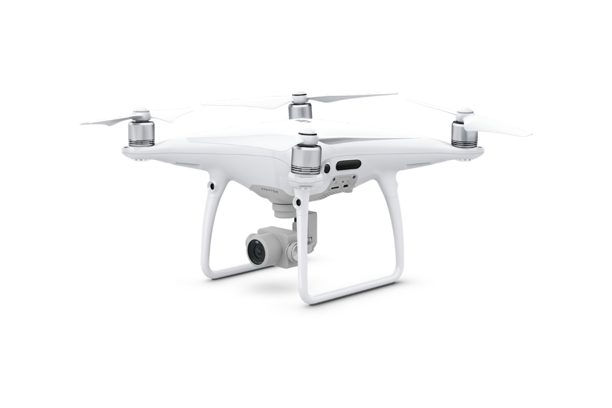
DJI Phantom 4 Pro

We use this drone mainly for more precise and less extensive work, or for vertical mapping. It is equipped with a high quality 20 megapixel camera with the ability to record 4K videos.

Geoslam ZEB REVO RT

Mobile laser scanning system for use especially in the building interiors. It uses a combination of laser scanning and SLAM (simultaneous localisation and mapping) technologies.
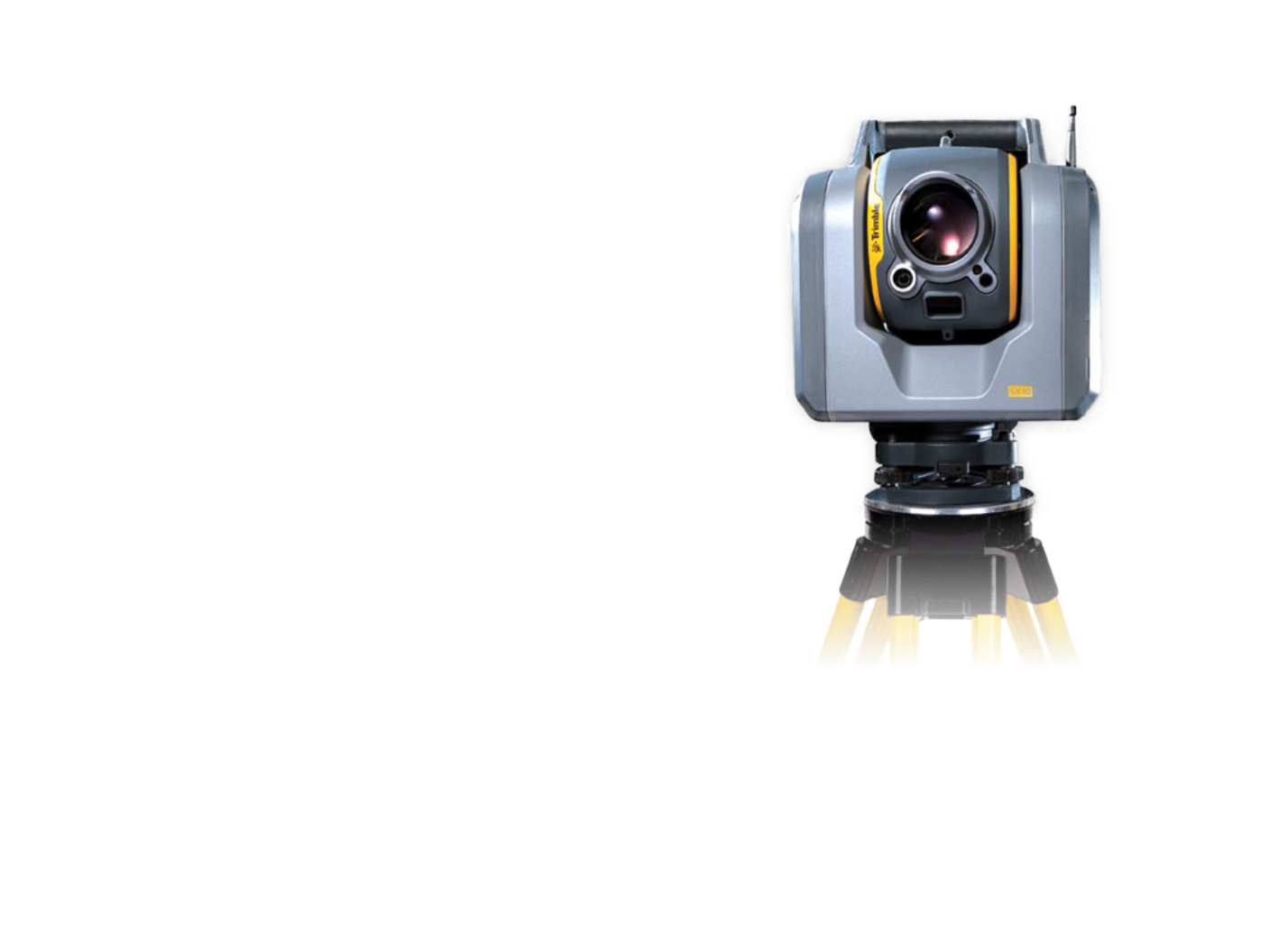
Trimble SX10

The scanning total station is an innovative solution in the field of mapping, engineering, and surveying worldwide, setting new standards for surveying instruments.

References

Pasportization of Čiper's Villa

We have prepared a passportisation of the Čiper Villa in the form of a BIM model.
More information

Railway Station Documentation for BIM Model

Reconstruction of the tracks and platforms at Čachovice railway station.
More information
Area: 63 150 m2

Passportisation of Bridges and Culverts for the Road ŘSD

We have prepared a passportisation of bridges and culverts in the form of BIM models.
More information

Water Treatment Plant – Vír dam

We have created a BIM model of the area around the Vir dam.
More information
12 500 m2

Company Headquarters

We have created a BIM model of the HRDLIČKA headquarters premises in Stodůlky, Prague.
More information
Area: 5 500 m2

Contact Us

Not sure which service is ideal for you? Ask our experts.

Ing. Miroslava Kubíčková

Expert consultant in the field of mapping, LiDAR, photogrammetry, UAV/UAS, 3D models, and BIM
Follow us

Contact Us

Not sure which service is ideal for you? Ask our experts.

Ondřej Hrdlička MTCP (Hons)

expert consultant in the field of mapping, geodesy, photogrammetry and 3D models and BIM
Follow us