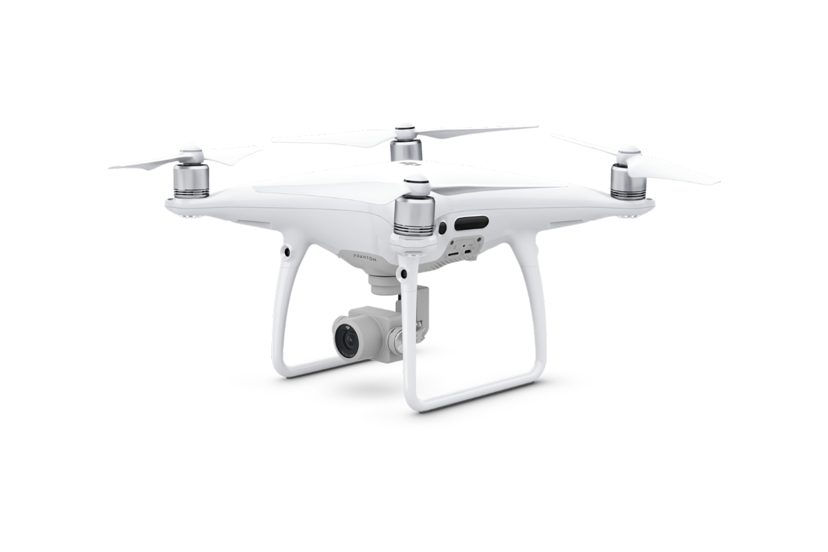
Photogrammetry

Quick and contactless data collection by digital cameras using unmanned aerial vehicles.
For more information, scroll

Service description

Aerial photogrammetry is a surveying method that allows contactless data collection of the Earth’s surface using aircraft or drones. The principle of aerial photogrammetry is to take pictures and perform surveying during the flight and then evaluate the recorded condition from the photos taken over time.

Speed
Accuracy
Large territories

Advantages of Photogrammetry

  • The possibility of targeting large territorial units
  • Timeliness and high detail
  • High accuracy and speed
  • Surveying dangerous and hard-to-reach locations
  • Monitoring the evolution of the site or object condition over time

Outputs Offered

  • Orthophoto in high resolution
  • Digital terrain and surface model
  • Coloured point cloud or mesh
  • Calculation of removal volumes
  • Spatial data visualisation

Technologies used

DJI Phantom 4 Pro

We use this drone mainly for more precise and less extensive work, or for vertical mapping. It is equipped with a high quality 20 megapixel camera with the ability to record 4K videos.

References

Photogrammetry of the Devil’s Stairs

We measured the bottom of the limestone landfill of the big quarry and calculated the cubic volumes of the removal after the drone pass.
More information

Contact Us

Not sure which service is ideal for you? Ask our experts.

Ing. Miroslava Kubíčková

Expert consultant in the field of mapping, LiDAR, photogrammetry, UAV/UAS, 3D models, and BIM
Follow us

Contact Us

Not sure which service is ideal for you? Ask our experts.

Ondřej Hrdlička MTCP (Hons)

expert consultant in the field of mapping, geodesy, photogrammetry and 3D models and BIM
Follow us