
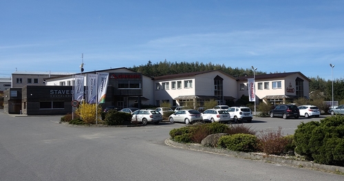

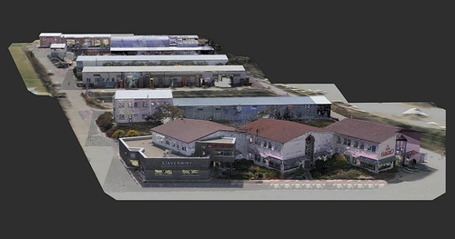
Technologies used
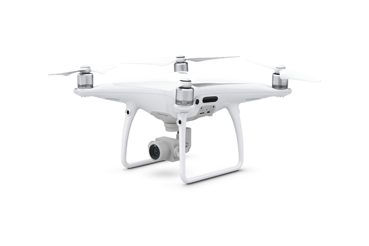
DJI Phantom 4 Pro
We use this drone mainly for more precise and less extensive work, or for vertical mapping. It is equipped with a high quality 20 megapixel camera with the ability to record 4K videos.
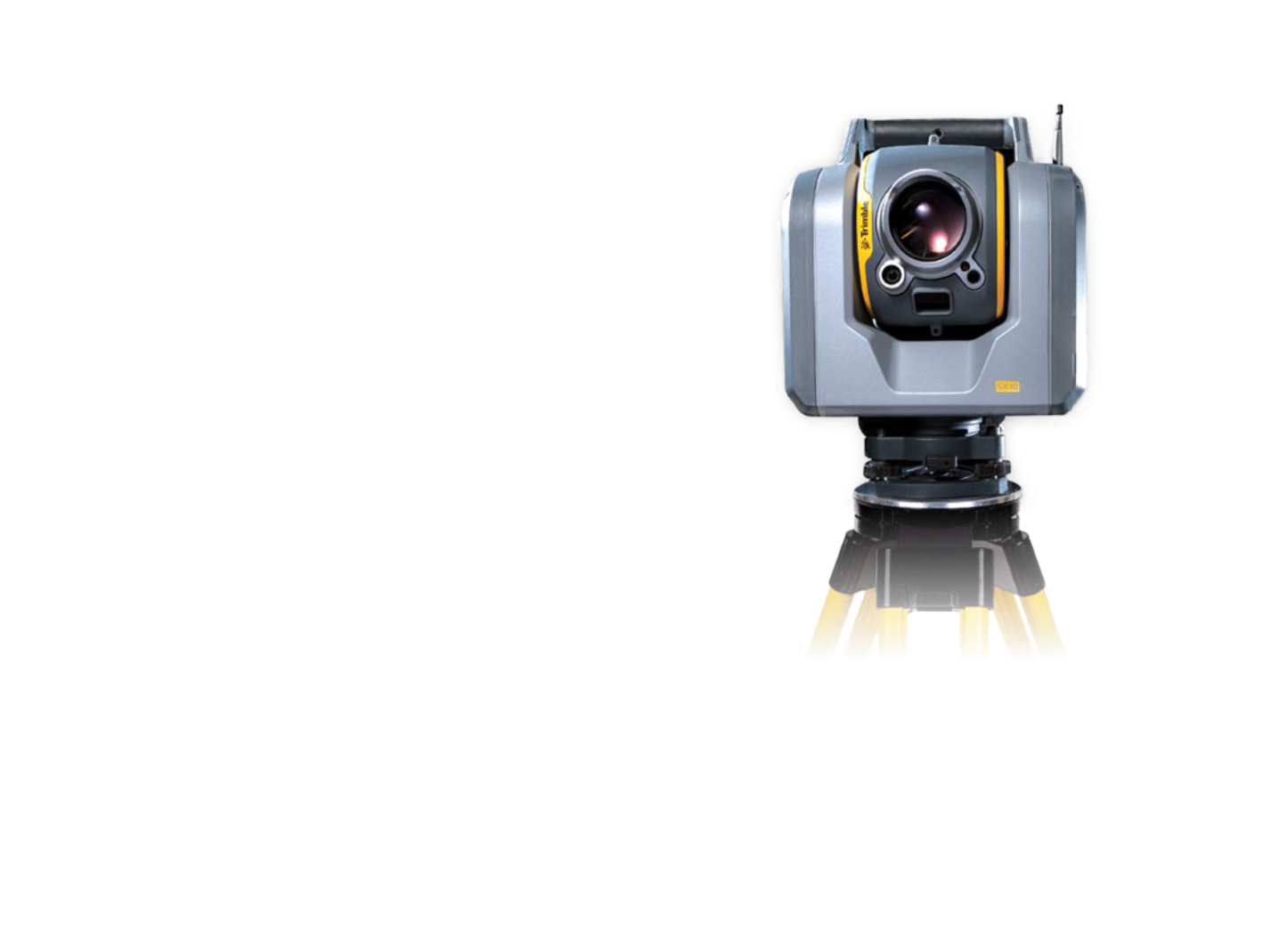
Trimble SX10
The scanning total station is an innovative solution in the field of mapping, engineering, and surveying worldwide, setting new standards for surveying instruments.
